Active AlertsNew Hope, AR
Motorists should not attempt to drive around barricades or drivecars through flooded areas.Turn around, don't drown when encountering flooded roads. Most flooddeaths occur in vehicles.River forecasts are based on current conditions and rainfallforecasted to occur over the next 24 hours. During periods offlooding...Evening forecasts are reissued with updated rainfallforecasts.Observed and forecasted stage data plots are available on ourAdvanced Hydrologic Prediction Service web page at...www.weather.gov/lzkUnder the Current Conditions section...Select River and Lakes AHPS.The next statement will be issued Wednesday evening at 830 PM CDT.
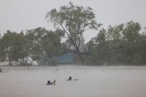
...The Flood Warning continues for the following rivers inArkansas...Ouachita River At Thatcher L&D affecting Calhoun, Bradley andUnion Counties.Ouachita River At Camden affecting Calhoun and Ouachita Counties.For the Ouachita River...including Jones Mill Dcp, Arkadelphia,Camden, Thatcher L&D...Minor flooding is forecast.* WHAT...Minor flooding is occurring and minor flooding is forecast.* WHERE...Ouachita River at Thatcher L&D.* WHEN...Until further notice.* IMPACTS...At 83.0 feet, Access to oil and gas rigs and to timberis flooded. Calhoun County Road 131 is completely under waterleading to old Lock 8 river access.* ADDITIONAL DETAILS...- At 7:30 PM CDT Tuesday the stage was 81.0 feet.- Forecast...The river is expected to rise to a crest of 83.5feet Friday evening.- Flood stage is 79.0 feet.- http://www.weather.gov/safety/flood