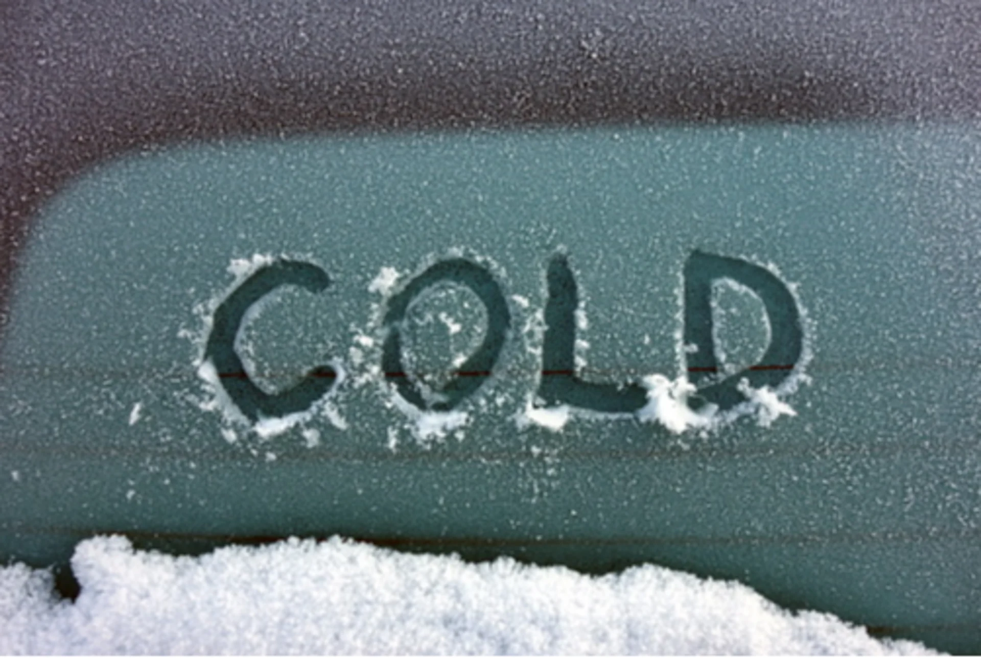
Remarkable nationwide cold closes out winter

If winter has not been brutal enough, yet another blast of Arctic air is spreading across most of the country as we finish winter officially.
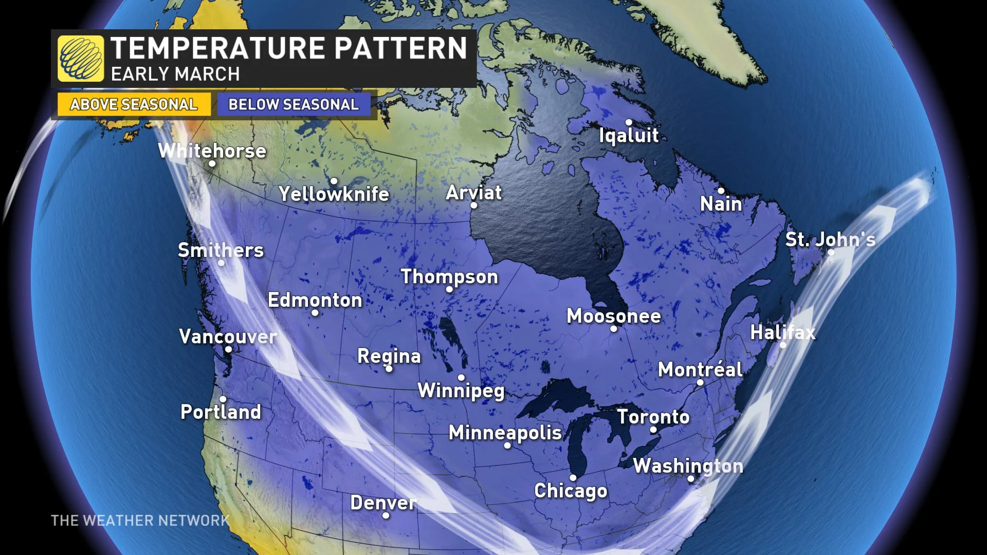
FRIGID PATTERN COAST TO COAST
Frigid weather will dominate across Canada during the first 10 days of March.
Visit our Complete Guide to Spring 2019 for an in depth look at the Spring Forecast, tips to plan for it and much more.
Temperatures will be as much as 10 to 15 degrees colder than seasonal, especially across central Canada with temperatures even colder than what we typically see in January.
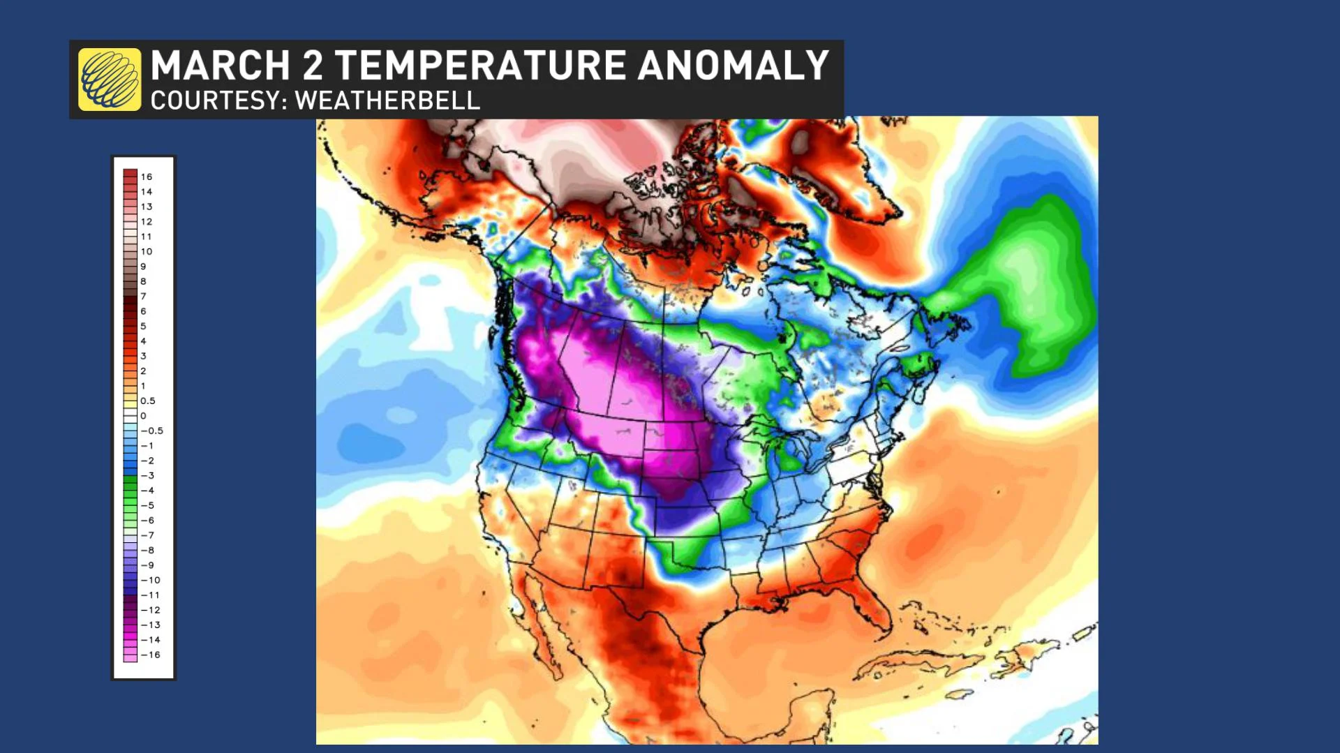
NEXT ARCTIC BLAST TARGETS WESTERN CANADA
Initially, the focus of the next blast of arctic air will be across western Canada with temperatures as much as 20 degrees colder than normal for parts of Alberta. The various shades of blue, green and violet on the map below highlight temperatures that are colder than normal, with the brightest fuchsia colours highlighting the coldest temperatures relative to normal from B.C. to Saskatchewan.
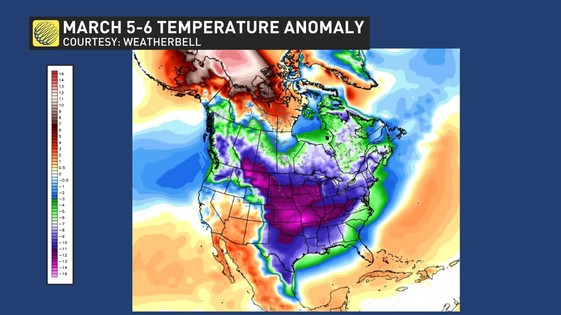
ARCTIC AIR SPREADS EAST NEXT WEEK
As we head through the first half of next week, the arctic air will continue to spread to the south and east. The coldest temperatures for Ontario and Quebec will arrive for Tuesday and Wednesday with temperatures running 10 to 15 degrees colder than normal. The temperature anomaly map below highlights just how widespread the frigid weather will be during the middle of next week.

Late in the week, the severe cold will relax somewhat, but temperatures will continue to be colder than normal. The map below shows temperatures for the first 10 days of March. It is most unusual to have so much of North America 5 to 10 degrees colder than normal for a 10 day period.
PATTERN CHANGE AHEAD; MILDER LATE MARCH
Arctic air will dominate across Canada for the first 10 to 15 days of March, but if you are not a fan of extended mid-winter weather, there is a light at the end of the tunnel. A pattern change is expected by mid March, allowing much milder weather to domimate during the second half of the month.

It is important to remember that spring is a tumultuous season and it is possible to get quick shots of cold weather in a milder pattern, but this pattern change means that everyone should finally see an extended period of normal or warmer than normal early spring weather during second half of March.
Some more good news? Our daily temperature "normals" climb on average 1°C-2°C each week this time of year which means it will feel even more spectacular! However, we will have to closely monitor the threat for flooding as we will have extensive and deep snow blanketing the country when the warmer weather does arrive.
With files from meteorologist Dr. Doug Gillham